Lawn mowingSunseekerChina
X3 Plus
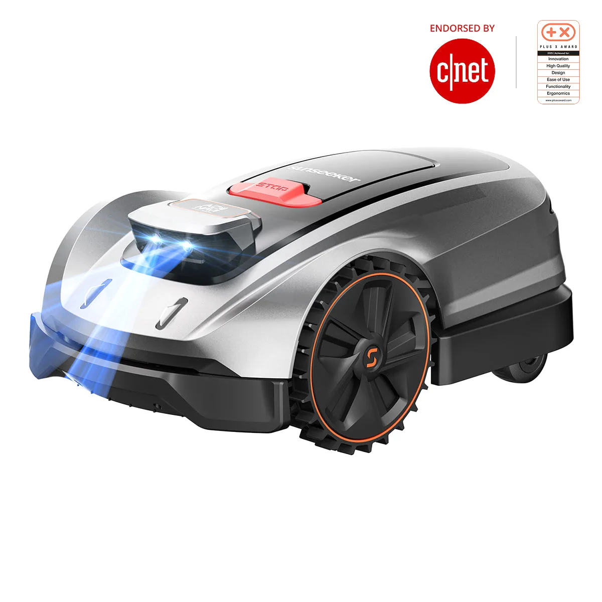
A wire-free Sunseeker robotic mower with AONavi fusion navigation: an RTK receiver backed by visual V-SLAM keeps centimetre-level accuracy even where trees and buildings shadow the satellite signal. The Vision AI camera recognises over 200 object types and steers around them in advance. Rated for grounds of roughly 1,200 m² with up to 100 zones.
Specifications
- Working area
- up to 0.3 acre (approx. 1,200 m²)
- Cutting width
- 20 cm
- Cutting height
- 40–80 mm
- Max slope
- 30% (17°)
- Navigation
- RTK + V-SLAM (AONavi), Vision AI camera
- Runtime / charge time
- up to 2 h / 90 min
Request catalog accessPrices — on request
Applications
- Plots with trees and patchy satellite signal
- Complex yards with multiple zones
- Private home lawns
- Grounds of small hotels
Alternatives
Similar models in our catalog
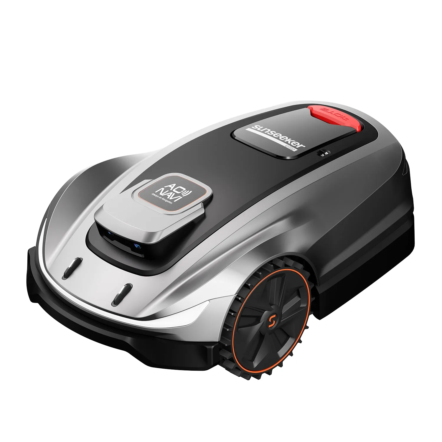 SunseekerX5Sunseeker's all-wheel-drive wire-free mower for demanding terrain: the AWD system takes slopes of up to 60% (30°) in stride, while the RTK plus V-SLAM combination (AONavi Pro) holds a precise route in areas with unstable satellite signal. A binocular Vision AI camera recognises over 200 object types. Covers grounds of about 2,000 m².Open →
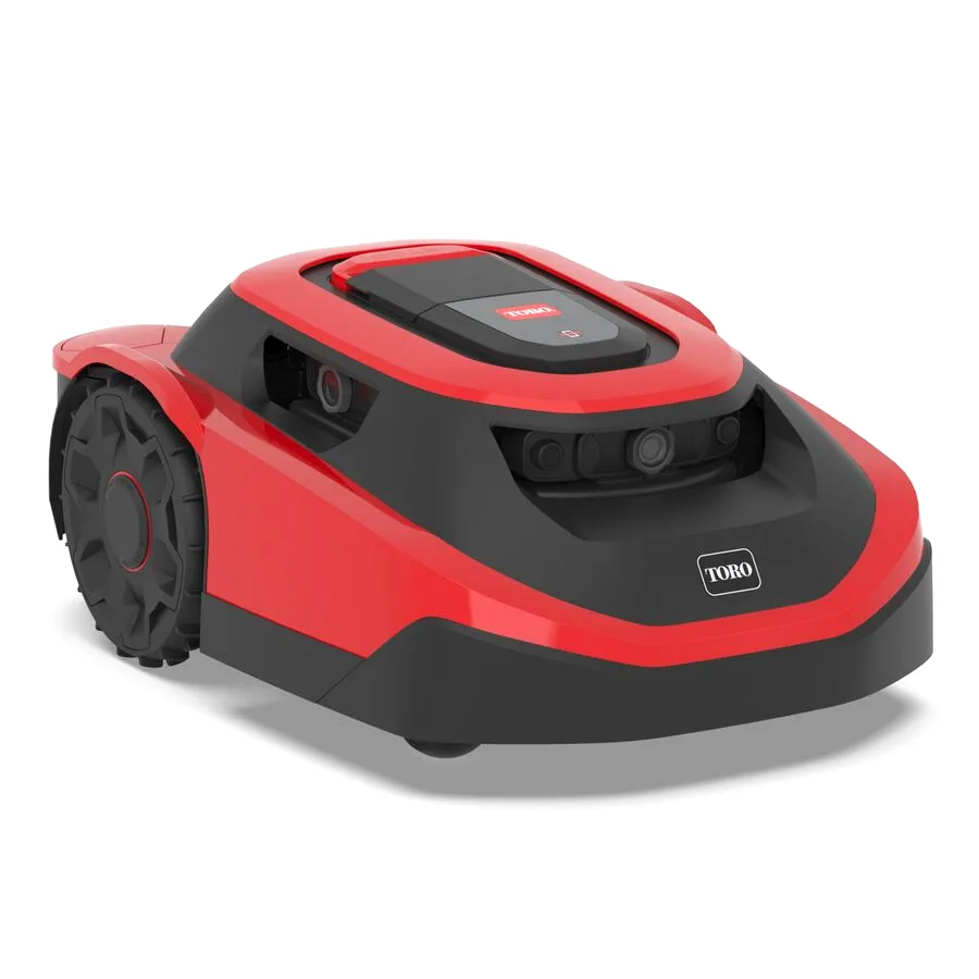 ToroHavenToro's robotic mower with purely vision-based navigation: four onboard cameras build a 3D point-cloud map of the property — no GPS, Wi-Fi or perimeter wire required. Night-vision-capable cameras with hydrophobic coatings keep it mowing after dark. Two versions, VM75 and VM125, cover roughly up to 0.75 and 1.25 acres respectively.Open →
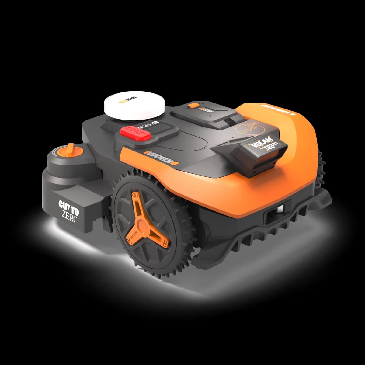 WorxLandroid Vision CloudA wire-free Landroid with hybrid navigation: cloud-based RTK positioning delivers centimetre accuracy and straight stripes, while the stereo Vision AI camera takes over wherever tree canopies or awnings block the satellites. Maps the lawn automatically in minutes. A model for mostly level lawns of up to 1,000 m².Open →
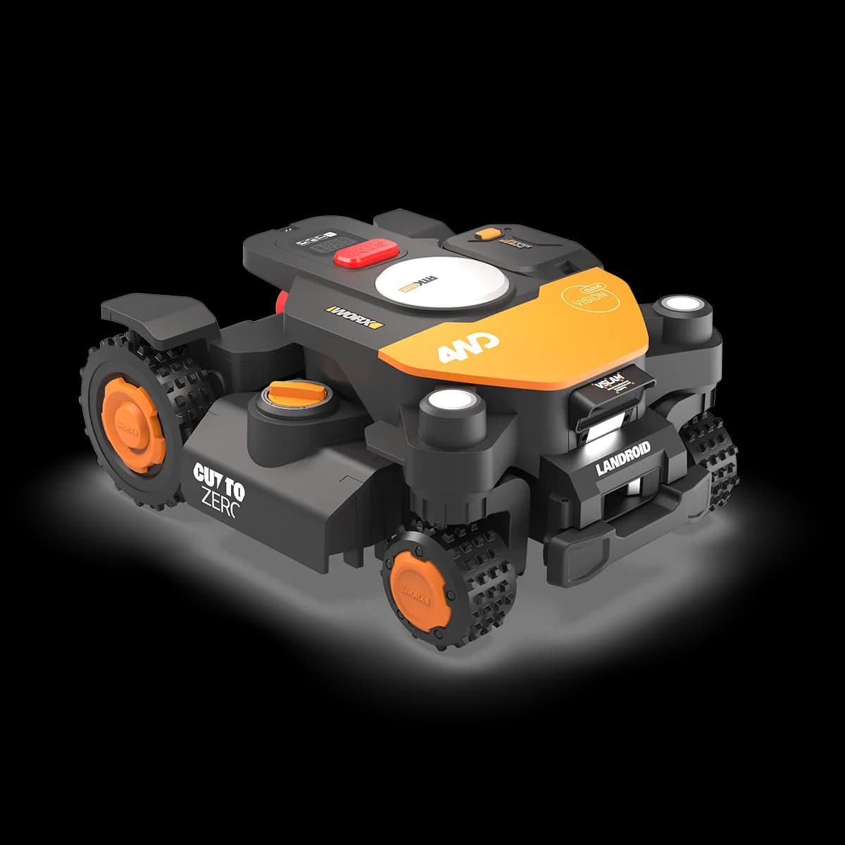 WorxLandroid Vision Cloud 4WDThe all-wheel-drive Landroid for difficult terrain: four driven wheels haul the robot up inclines of up to 84% (about 40°). Navigation pairs a stereo Vision AI camera with RTK satellite positioning — no perimeter wire, and the RTK Cloud service is included for life. Available in versions for 600, 1,000, 2,000 and 4,000 m², connected over Wi-Fi or built-in 4G.Open →