AgricultureJOUAVChina
CW-25E
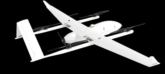
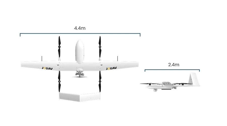
A fully electric fixed-wing VTOL from JOUAV for aerial imaging and mapping of large territories: 2.5 to 3.5 hours aloft with up to 6 kg of payload — survey cameras, lidar, thermal gimbals. Vertical takeoff and landing need no runway, with automatic landing accuracy within 15 cm. It disassembles into modules and travels in a standard SUV.
Specifications
- Flight time
- 150–210 min
- Max payload
- up to 6 kg
- Cruise speed
- 70 km/h
- Wingspan
- 4.35 m
- Max takeoff weight
- 31.58 kg
Request catalog accessPrices — on request
Applications
- Aerial imaging and orthophoto maps across thousands of hectares of farmland
- Lidar terrain surveys for land improvement projects
- Large-area monitoring of fields and shelterbelts
- Inspection of extended infrastructure — canals, roads, power lines
Alternatives
Similar models in our catalog
 JOUAVCW-30EA hybrid (gasoline plus battery) VTOL UAV from JOUAV for multi-hour missions: up to 8 hours of flight with a 6 kg payload and a control link reaching 200 km. The platform carries heavy sensors — lidar, full-frame survey cameras, gyro-stabilized gimbals. The choice for jobs that must cover vast territories in a single sortie.Open →
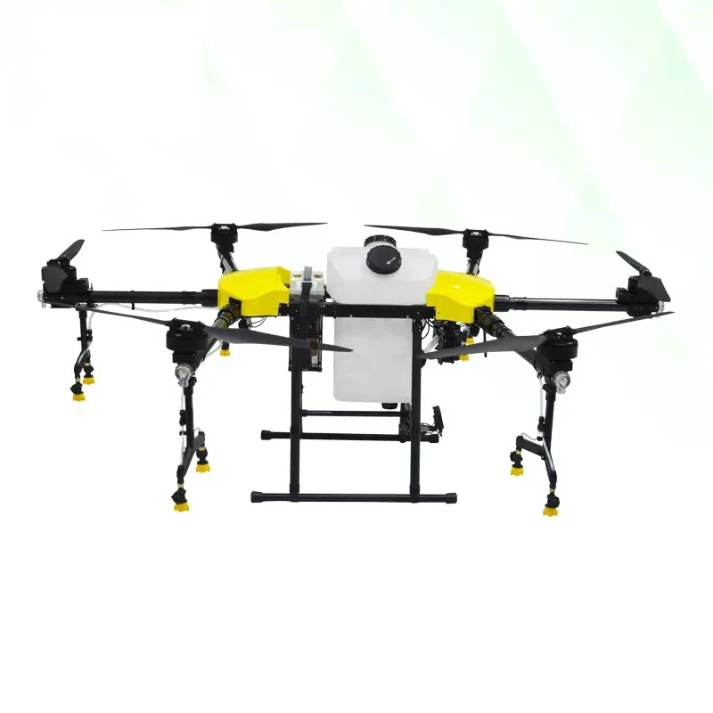 Joyance TechJT30L-606A six-rotor Joyance agricultural drone with a 30 L tank for spraying, fumigation and — with a swap-in hopper — dry material application. The aviation-grade aluminum frame and conventional layout keep field maintenance and repair straightforward. A practical option for farms that value structural simplicity and serviceability.Open →
 Joyance TechJT40LAgricultural spraying drone with a 40-litre tank from Joyance Tech, one of China's major agri-drone manufacturers. It covers up to 16–18 hectares per hour, and the quick-swap fast-charging battery keeps downtime between flights short. Built for farms and spraying contractors that need high daily output.Open →
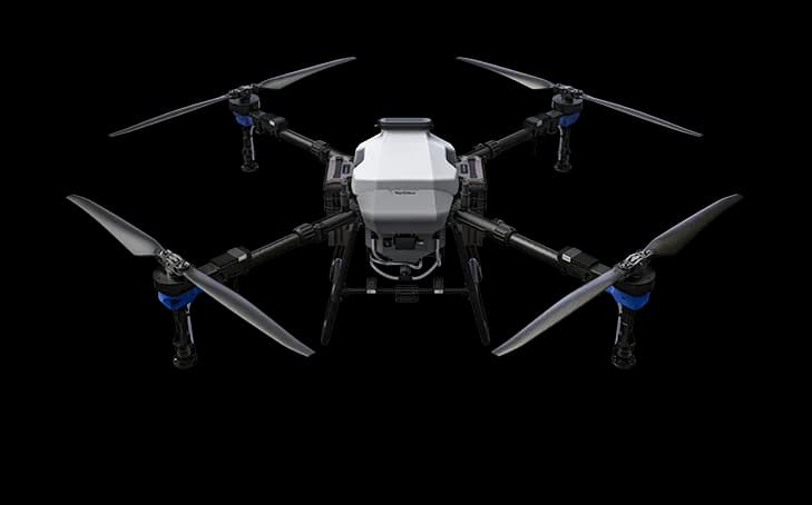 TopXGunFP600TopXGun agricultural drone with separate spraying and spreading systems: a 50-litre tank, a 76-litre hopper and up to 60 kg of payload. Centrifugal nozzles adjust droplet size from 50 to 500 microns — from gentle orchard treatment to dense coverage of grain crops. The IP67-rated frame shrugs off dust, moisture and washdowns.Open →