AgricultureAgEagleUSA
eBee X
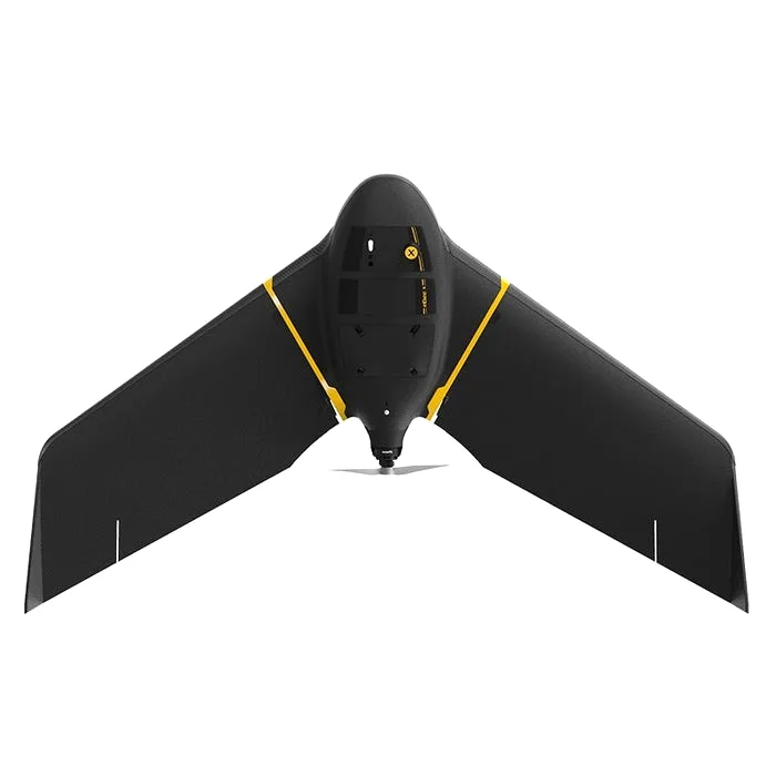
AgEagle's versatile mapping fixed-wing (a senseFly heritage design) with class-leading endurance: up to 90 minutes of flight and up to 500 ha per sortie. The modular bay accepts RGB, multispectral and thermal cameras, while RTK/PPK delivers accuracy down to 1.5 cm without ground control points. A tool for field surveying, drainage planning and land accounting.
Specifications
- Flight time
- up to 90 min
- Coverage per flight
- up to 500 ha (at 120 m)
- Takeoff weight
- 1.6 kg
- Accuracy (RTK/PPK)
- down to 1.5 cm without GCPs
Request catalog accessPrices — on request
Applications
- Large-scale farmland mapping and boundary surveying
- Building digital terrain models for drainage and irrigation planning
- Multispectral and thermal crop monitoring
- Land inventory and verification of actual field use
- Imaging for insurance and cadastral tasks
Alternatives
Similar models in our catalog
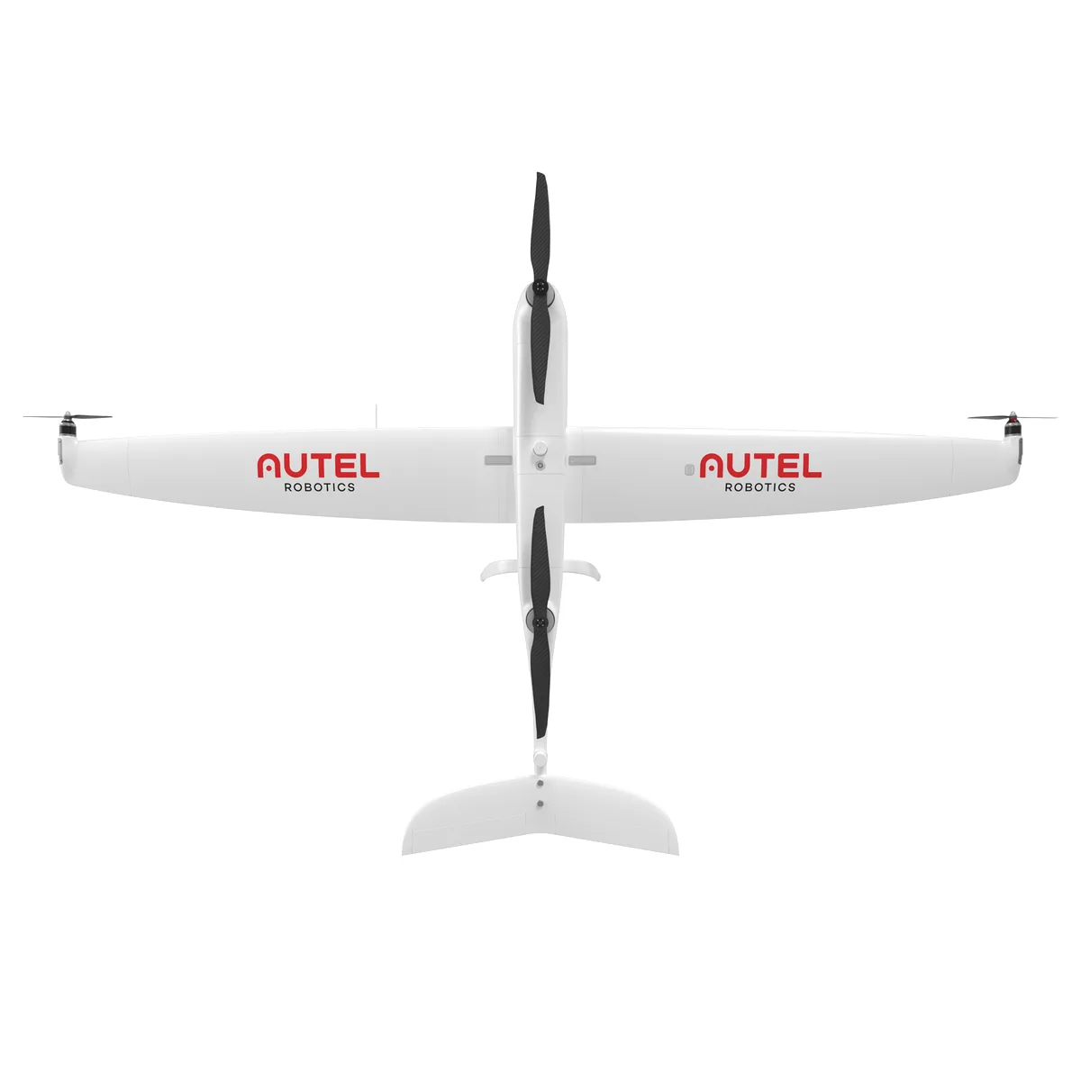 Autel RoboticsDragonfish ProThe flagship of the Dragonfish series — a VTOL fixed-wing UAV that stays airborne for up to three hours with a 2.5 kg payload. Modular gimbals, including cameras with 50x optical zoom, swap out in minutes. A platform for monitoring large agricultural estates and territories that call for long routes without intermediate landings.Open →
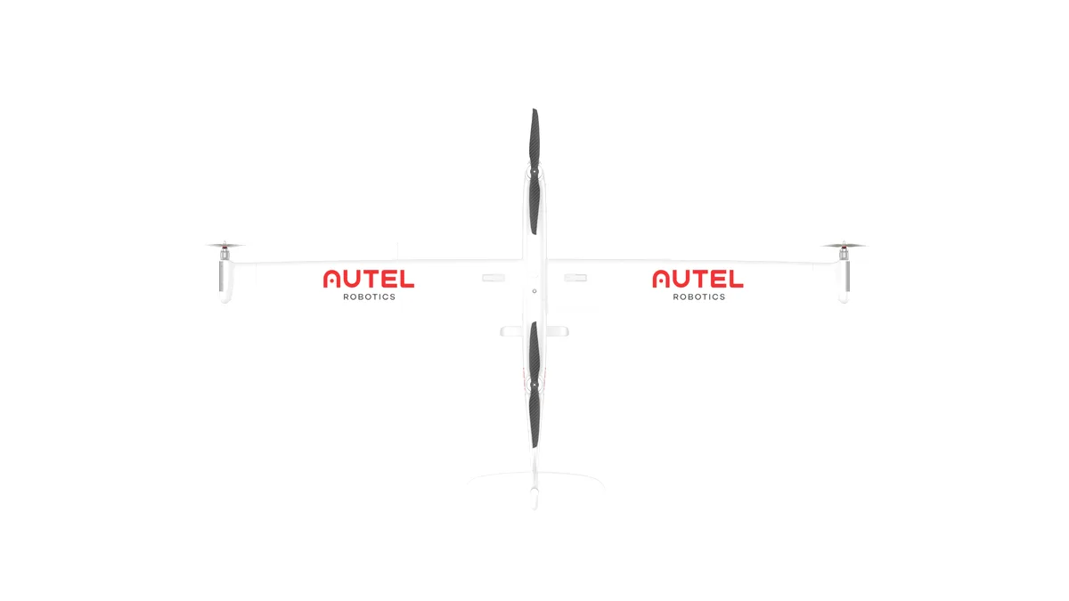 Autel RoboticsDragonfish StandardThe base version of the Dragonfish VTOL platform: about two hours of flight, automatic transition between multirotor and fixed-wing modes, tool-free assembly. It takes off and lands vertically from any site, so no runway is needed. A fit for farms that need regular oversight of fields and assets across areas beyond the reach of ordinary quadcopters.Open →
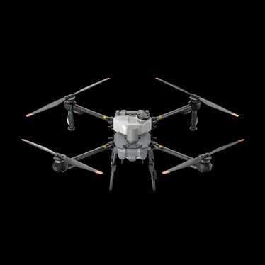 DJI AgricultureAgras T25PA compact DJI agricultural drone designed for solo operation: a 20 L spray tank and a precision spreading system for up to 25 kg of dry material. It folds to fit a pickup bed and deploys in the field within minutes. Well suited to small and mid-size farms, spot treatments and specialty crops.Open →
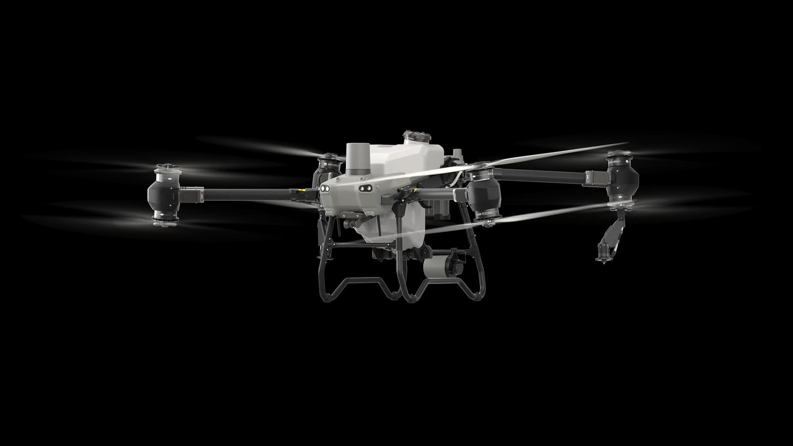 DJI AgricultureAgras T50The flagship sprayer of the DJI Agras line for large acreage: 40 L of solution, dry spreading up to 50 kg, and spraying productivity up to 21 ha per hour. Dual centrifugal atomizers produce droplets from 50 to 500 microns to match the treatment type. Built for intensive seasonal operation on large farms.Open →